South Bay / Boulevard Park trail
A nice easy flat trail
Location
Full length of the trail is 2.5 Miles, but an out and back is possible.
Map
Trail
Some very small undulations, mainly flat.
A multi-use trail consisting of gravel and concrete.
Effort
Gentle and easy for beginners.
An easy off-road trail running from the town center all the way to Fairhaven, a nice place for a coffee or a snack. It’s often busy with weekend runners and is a commuter trail on the weekdays, so keep that in mind. The trail is nice and wide to pass.
For more local information see :
https://www.cob.org/documents/parks/parks-trails/trail-guide/south_bay.pdf
Trailheads
City center or Fairhaven, even in the middle at Boulevard Park which has parking and a coffee shop.
Lake Padden
Trails on the southern side of Lake Padden
Location
A 2.6-mile loop with possibilities to extend.
Maps
Trail
A small amount of up and down, mainly fairly steady.
Wide-open gravel path.
Effort
Gentle to moderate, with good options for all abilities.
A very popular park just outside of Bellingham, with lots of families, dog walkers, and still great for trail running. There are options of smaller single-tracks off the southern side of the lake and a possible 2-3 mile undulating extension for a tougher and longer route. If you get too hot, it’s a great place to take a dip and cool off. If lake water doesn’t tick your boxes, there are showers at the Wilkin St. entrance to rinse off afterward.
Trailheads
West Entrance off of Samish Way, East of 46th St.
East Entrance off of Samish Way, East of Governor Rd.
Wilkin St. (east of 40th St.) This is also the horse trailer parking lot.
Trailhead parking and trail access on Samish Way across from Galbraith Lane.
Hovander Park (Ferndale)
Location
A 1.9-mile riverside trail, with many other cross country trails around.
Maps
Trail
All completely flat!
Grassy paths, boardwalks, and gravel paths
Effort
The only way to make this one hard is to go the distance!
This is a short 15 mins drive north of Bellingham to the small town of Ferndale. If you want to experience a historic homestead whilst running around some beautiful wild fields and gardens, then this is the run for you. Ferndale is a nice small town and a great place to grab a beer and food after your run.
The trail runs all the way down the riverside, but it’s possible to run cross country and even through the gardens and boardwalks around the historic house.
Trailheads
Park in the town center and run across the bridge and access the park via Hovander Road.
Fragrance Lake (Larabee State park)
Crazy tree roots on the trail
Location
A 7 mile round trip. Take the gentle route to extend the distance.
Maps
Trail
An up and down track with no time to rest.
Singletrack trails and gravel 4×4 roads
Effort
Lots of climbing and descending, no way to make this easy.
This track is for stronger runners looking for a tough uphill, where you’ll be power hiking most of the time. There are lots of switchbacks to smoothen the incline, but they don’t help too much. If you’re looking for an easier up or down, there’s an escape 4×4 route from the top to the Lost Lake parking lot.
If it’s a good day and you’d like some views across the bay there’s a small extension to a lookout towards the bottom of the trail.
Or if you’re really overheating at the top you could take a dip in the super cold lake.
Trailheads
Chuckanut drive. 2 car parks. Discovery Pass required.
Chain Lakes Loop Trail (Mt. Baker 1h 30 from Bellingham)
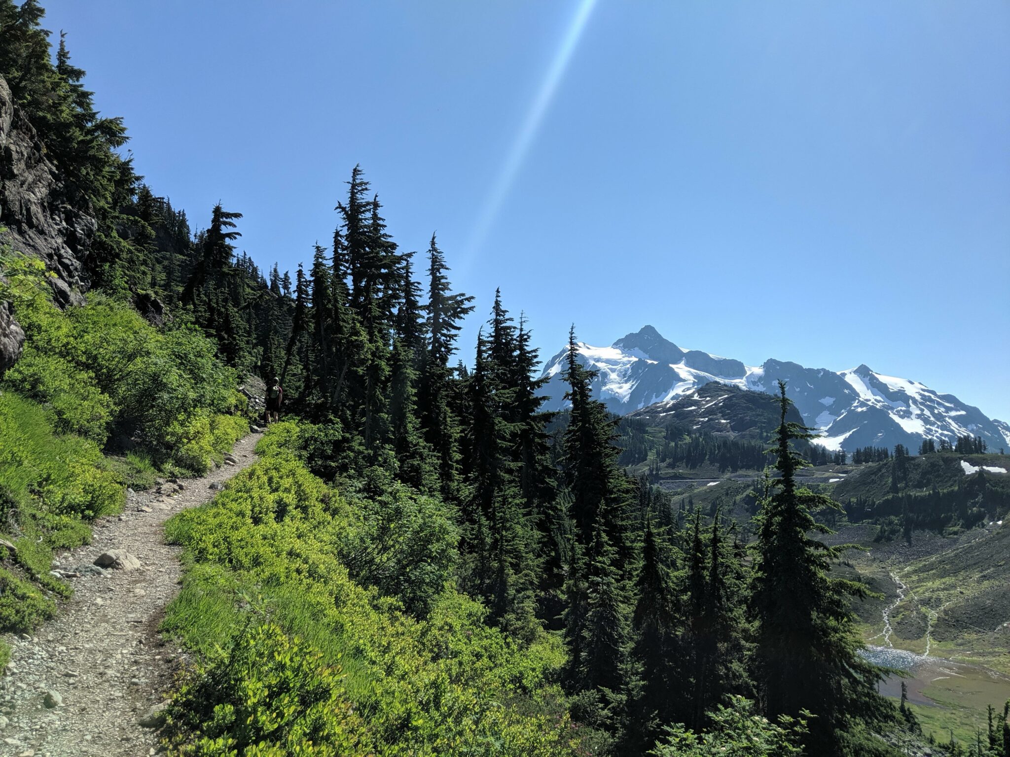
Rocky trails to some amazing views!
Location
A 5.6-mile loop track.
Maps
Trail
Mountain ascents and descents on technical trails and switchbacks.
Technical lose rock conditions.
Effort
A long day for a short distance. Difficult trails, hard to run some sections.
We’ve saved the best until last. Chain Lakes Loop Trail is one for the hardened runners out there. And if that’s not you, I still advise taking this trail as a hike. It’s a fair way out Bellingham, but certainly worth a weekend outing even if you’re trail running or not.
The trail offers some of the most amazing views of the area around Mt. Baker.
You can make the journey in either direction as you’ll be climbing for the first mile either way. Clockwise has steps, and anti-clockwise has switchbacks, you decide what you want to climb.
It’s worth noting that the trail is not available year-round as in the winter it’s a ski resort! So check out the National Forest Service Website for announcements.
Please note this is a very difficult trail and should only be attempted by serious trail runners, who know how much water and food they’ll need on the trail. Also, be sure to bring appropriate equipment to keep cool and warm. More than my usual minimal advice that I give.
You’ll be sure to be bitten by bugs out there and always think about the wildlife and leave no trace. Pack it out!
Trailhead
Chain lakes Trailhead Parking. Discovery Pass required.
FAQ
South Bay / Boulevard Park trail.
Chain Lakes Loop Trail.
Hovander Park
Like this post? Pin it and follow me for more posts like this!

